Maps and Mapping Resources
1950’s Racing Chart of the Solent
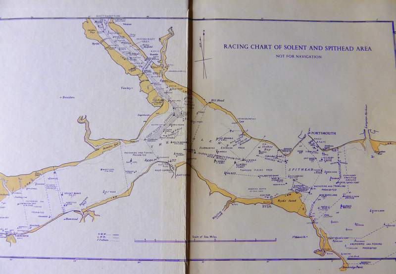
1950’s Racing Chart of the Solent A chance find in a charity shop today turned up a racing chart of Solent and Spithead, how appropriate on the first day of the ‘America’s Cup’ hosted in Portsmouth for the first time in 164 years. Not being a sailor the chart is full of mysteries for me. The…
Read MoreHistory of the New Forest
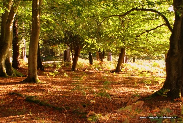
The history of the New Forest National Park, is evident in the landscape, in the villages and towns and on the coast of this unique part of Britain.
Read MoreD-Day Gathering
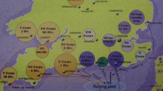
Making ready for Overlord in Hampshire, with troops massing on the South Coast, Eisenhower moving into Southwick House and Admiral Ramsay running Neptune from Southwick Fort. Who was in your area around the time of Mid-May to 6th June there was lots of hearsay but has your village or town got a story to tell?
Read MoreThe Silchester Project
The Silchester Project is an archaeological project undertaken by the University of Reading into the Roman town of Calleva Atrebatum in Hampshire. Visit to see the best preserved Roman town walls in Britain.
Read MoreFort Cumberland Bombed 1940
Fort Cumberland has stood sentinel at the entrance to Langstone Harbour for 150 years but in 1940 it was heavily bombed. A fascinating map showing the exact location of the dropped bombs shows the extent of the German attack on this fortification.
Read MoreDesmaretz Map Portsmouth 1744
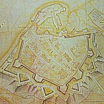
Demaretz was an engineer and map maker who spent most of his career fortifying the south east coast of England
Read MoreHampshire Old Map Southamtoniae 1575
Map of Southamtonaie (Southampton) the old spelling and what was the original basis of the County Area, which was enlarged to Hampshire as we know it today over time.
Read More
